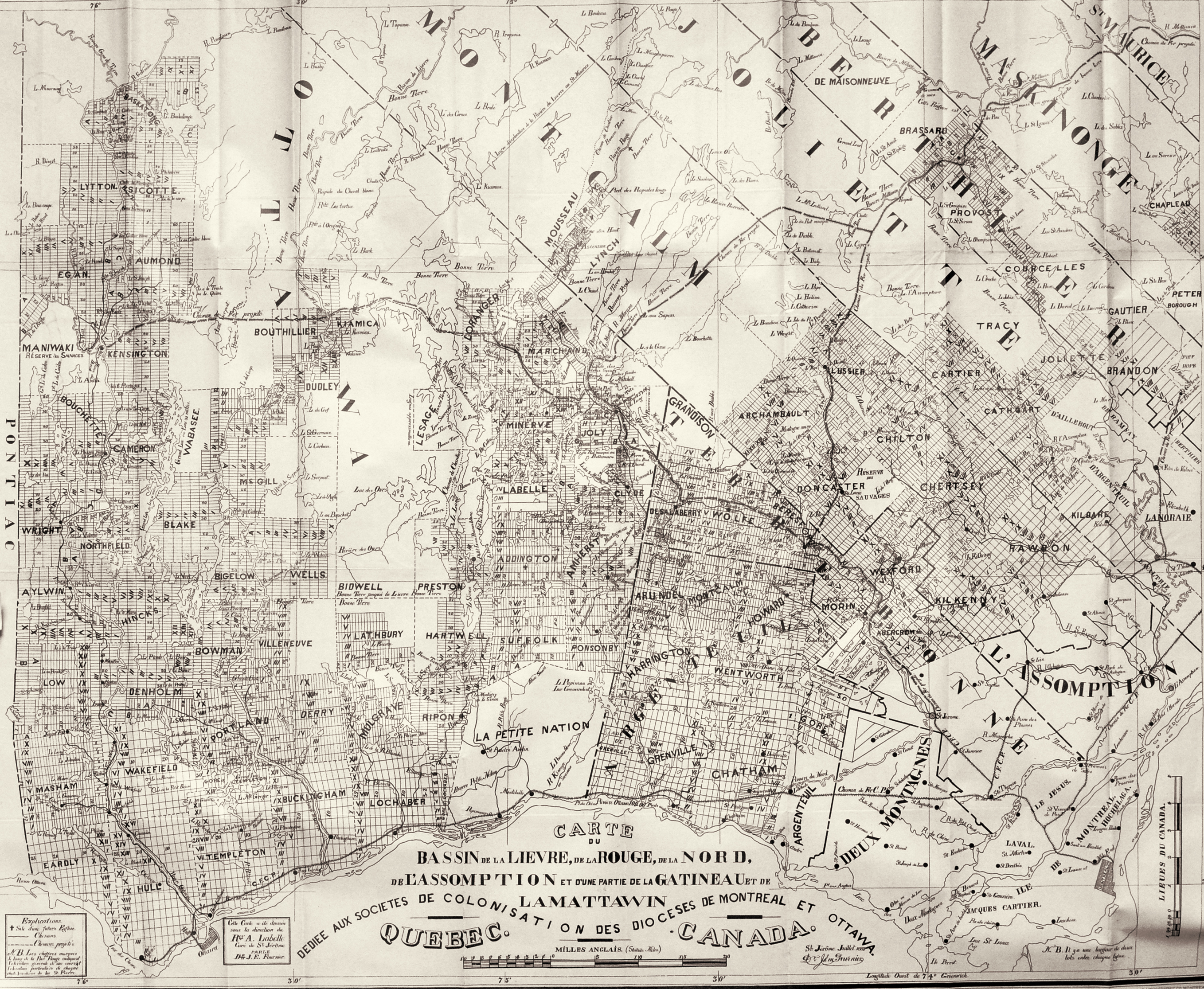
Map of the Lièvre, Rouge, Nord and L’Assomption Watersheds, with Parts of the Gatineau and Mattawin Watersheds

Author: Dr J. Emmanuel Fournier
Date: 1883
Source: Private collection of Dominique Beauregard
Map reproduced from the brochure “Au Nord”, published in 1883, under the auspices of the Colonization Societies of the dioceses of Montreal and Ottawa and written by G. A. Nantel.
This map, drawn by a close friend of Antoine Labelle, Dr. Emmanuel Fournier of Saint-Jérôme, was displayed prominently in the Presbytery of Saint-Jérôme. The curé referred to it often, and encouraged the children of his parishioners to venture north and settle the fine lands of the North, on lots laid out along the rivers, as shown in the map.

