17 – Additional Background on the Geology of British Columbia
Mountains are natural landforms shaped by moving tectonic plates and volcanic activity, which cause the earth’s crust to rise and form a peak. These geological forces have built mountains around the world, such as the Himalayas, the Andes, the Alps, the Sierra Nevadas, and the Canadian Rockies.
Moving continents, rising and falling mountain barriers, vast volcanic eruptions and continental ice sheets all played an essential role in creating the diversity of life in British Columbia today.[19]
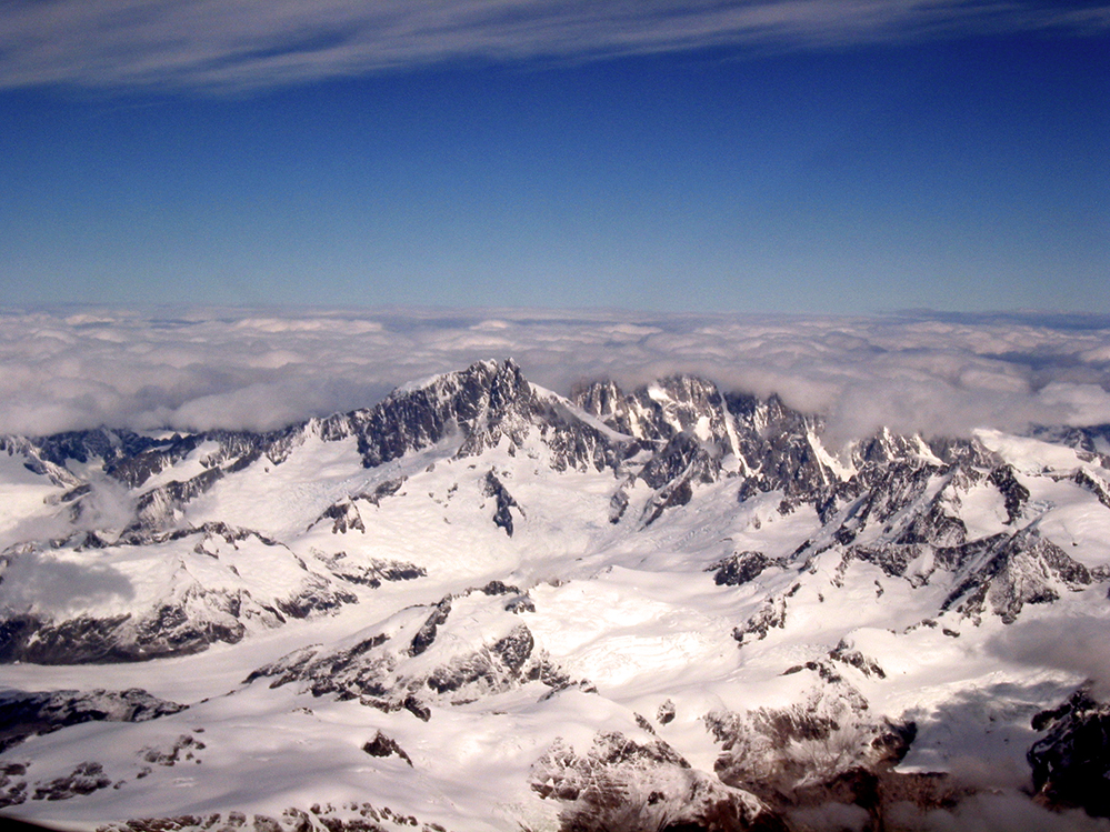
The cirque glaciers left over from the last ‘little ice age’, which ended 10,000 years ago, carved the knife-edge peaks called arêtes, the u-shaped valleys, and the deep fjords along the coastline. Over the course of 650 million years, British Columbia was shaped by colliding tectonic plates, volcanic eruptions, and glaciations, which resulted in the uplift necessary to create the Rocky Mountains to the east, the Interior Plateau, and the Coast Mountains.

Mount Waddington is the highest peak in the Coast Mountains and contained completely within the Province of British Columbia.
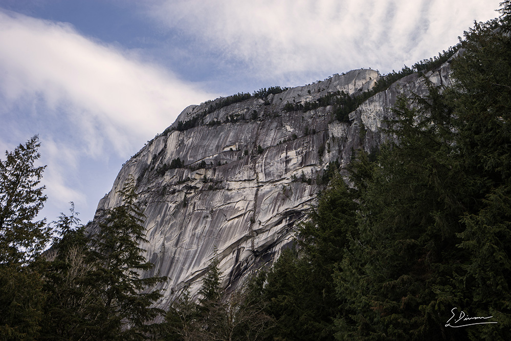
The Coast Mountains stretch over 1,600 kilometres from the Fraser River Valley north to the southwestern edge of the Yukon and Alaskan Panhandle. From Mount Waddington (4019m), the highest peak in British Columbia, to the banks of the Fraser River, the geomorphology of the Coast Mountains has long been studied and admired by geologists and tourists alike. Unlike the sedimentary rock and dinosaur fossils discovered in the Rockies, the Coast Mountains have one of the world’s largest granite fields, and are home to one of Canada’s most popular rock climbing areas, the Stawamus Chief.
[19] Cannings, Sydney, Richard Cannings, JoAnne Nelson. Geology of British Columbia: a journey through time. Vancouver: Greystone Books, cc2011. Pg. 9.


