

Topographical map of the Mount Garibaldi Region
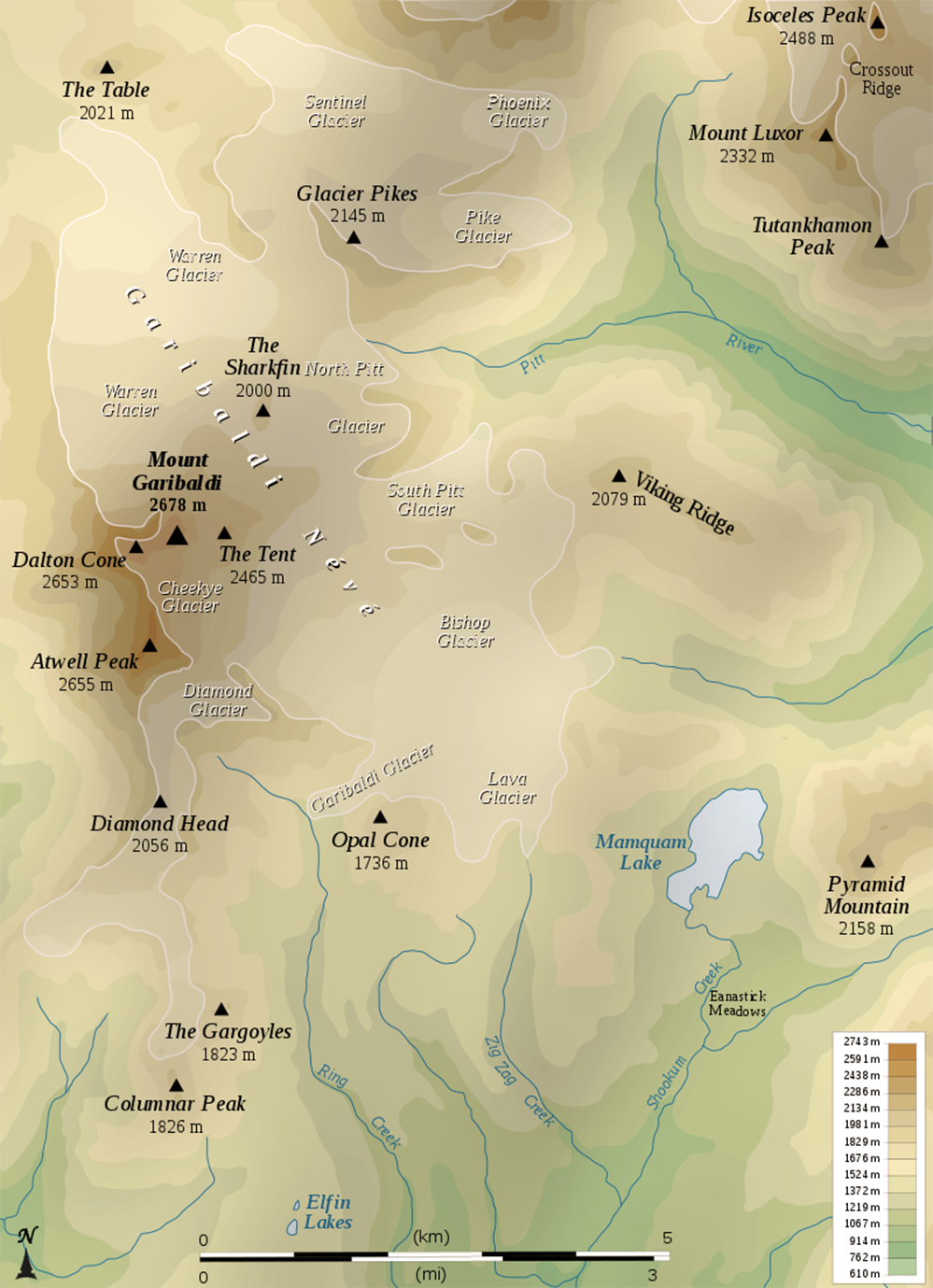
Map by Semhur; Source: WikiMedia Commons (https://commons.wikimedia.org/wiki/Category:Mount_Garibaldi#/media/File:Mount_Garibaldi_topographic_map-en.svg); Date: 2008
Topographical maps are still popular finding aids used by Clubs and Backcountry travellers. This map highlights the terrain changes around Mount Garibaldi and nearby peaks in Garibaldi Provincial Park.