

Cole Harbour Air Photo
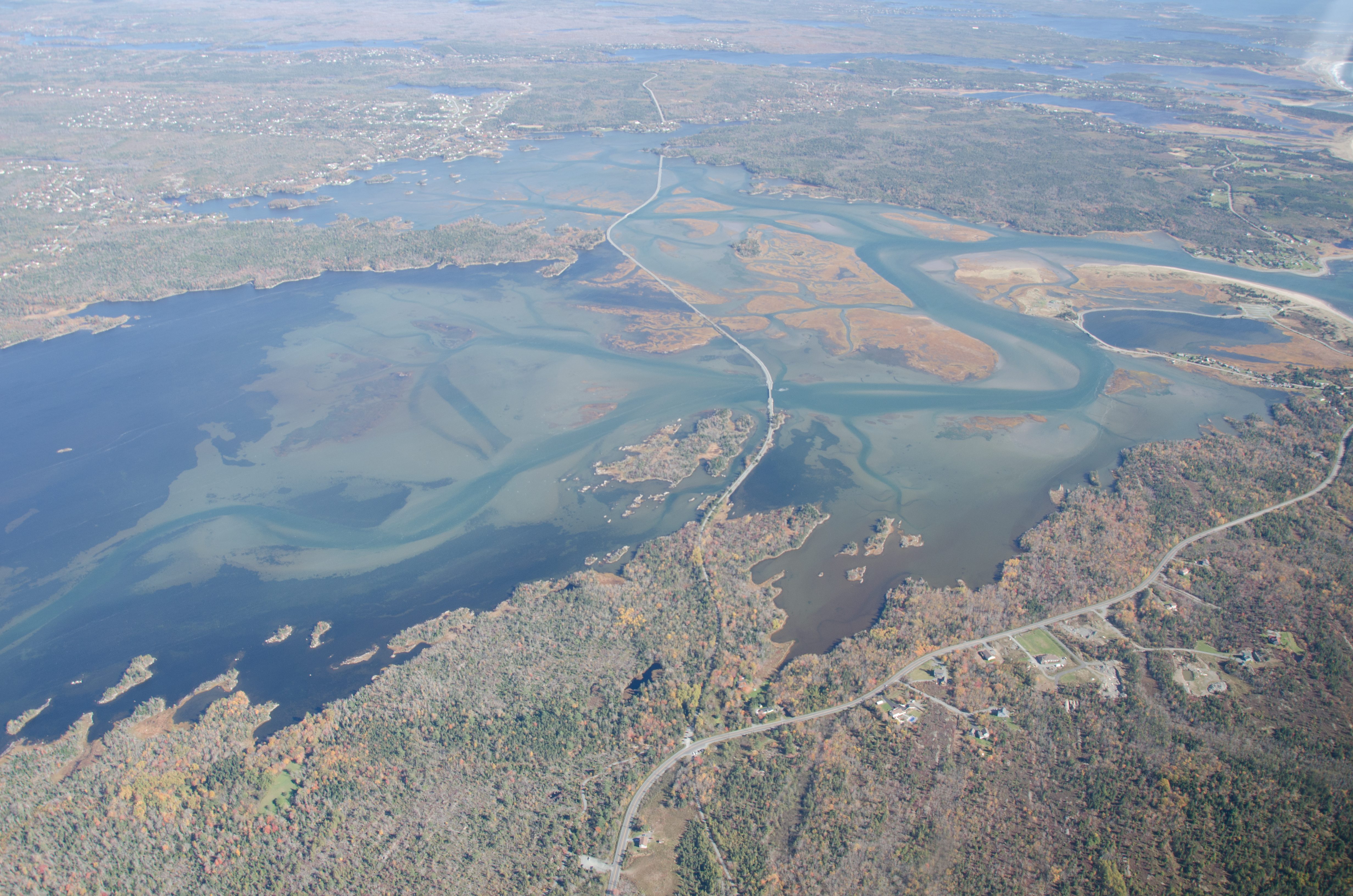
2014. Jon Stone fonds. Cole Harbour Rural Heritage Society Archives.
An aerial view of Cole Harbour, looking east. Flying Point can be seen dipping into the middle of the estuary, in the upper left hand corner, and the Salt Marsh Trail can be seen crossing the harbour.