

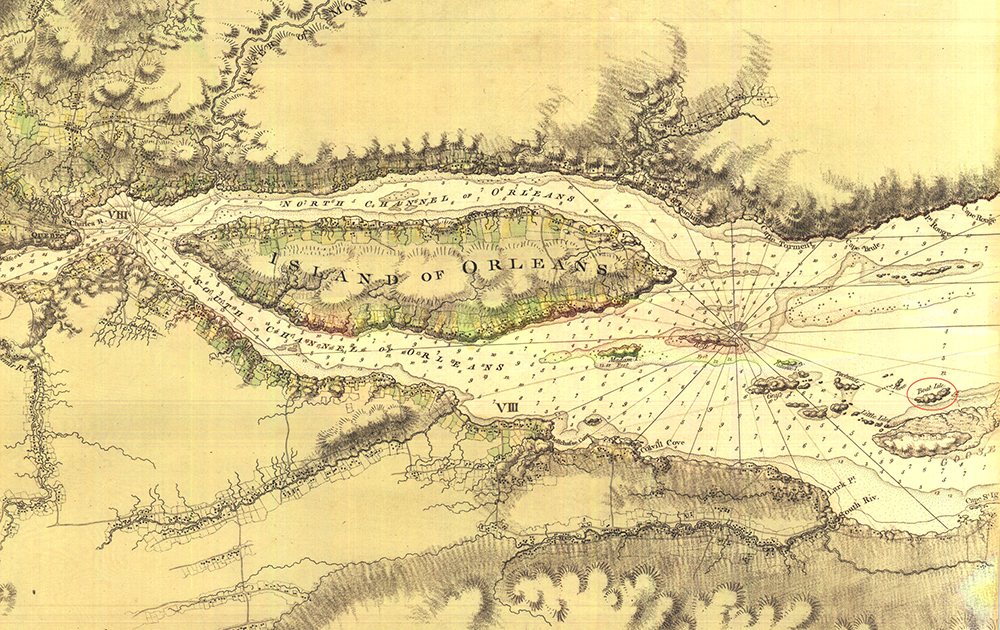
Map of the St. Lawrence River Showing Île au Canot
River of St. Lawrence, from Chaudière to Lake St. Francis, by Samuel Holland and Joseph Frederick Wallet Des Barres, London, 1781.
1 map in 6 parts, section 2
BAnQ, G 3312 S5 1781 H6 CAR, public domain
François-Xavier Lachance grew up on Île au Canot (Boat Island), which lies east of Île d’Orléans, as shown on this map dated 1781.