

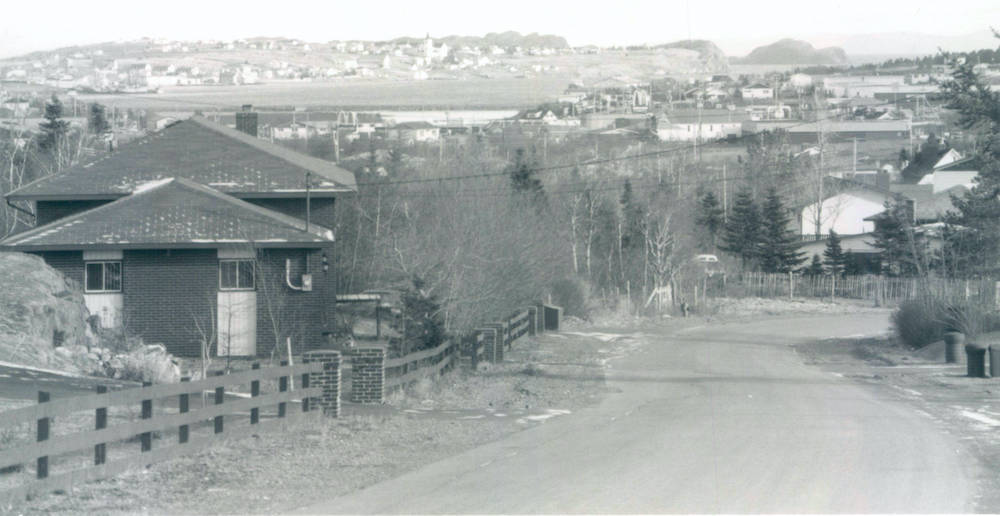
Country Road, c. 1990
Decks Awash Photographs/Memorial University of Newfoundland Libraries Archives and Special Collections, c. 1990.
A view of Country Road from the 1990s, looking East. In the distance, Bay Roberts East is to the left of the photo; Coley’s Point is to the right.