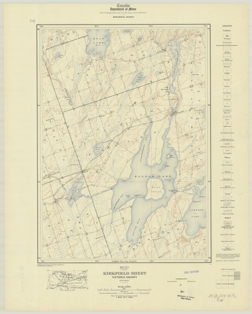
Topographical Map of Kirkfield and Northwestern Kawartha lakes

Historical Topographic Map Digitization Project. Canada, Survey Division, Department of Militia and Defence. Kirkfield, Ontario. 1:63,360. Map Sheet 031D10, [ed. 1], 1916. [Digital]. Scholars Portal, Ontario Council of University Libraries Toronto Ontario, Canada; http://geo.scholarsportal.info (January 1, 2016)
This topographical map shows northwestern Victoria County (later called Kawartha Lakes) as it appeared in 1916. The Portage Road linking the villages of Kirkfield and Coboconk would evolve into Highway 46 and Highway 48; the Cameron Road running north through Rosedale, Coboconk, and Norland would eventually become Highway 35 North.
Please visit this website (available in English only) to view the map in more detail.

