

From Mathurin Tessier’s Land to Saint-Nicolas Chapel
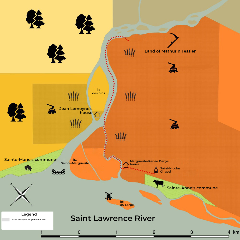
Topographic map, 2017, François Antaya.
Source: Domaine seigneurial Ste-Anne
The red line shows the path taken by Roy between Mathurin Tessier’s land and Saint-Nicolas Chapel.