

An invisible border
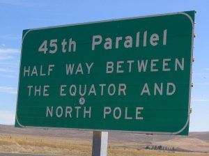
Equidistant between the equator and the North Pole, the 45th parallel became the official border between Sutton Township and Vermont in 1842.
The Webster-Ashburton Treaty, signed in 1842, finally fixed the Canada-U.S. border between southern Québec and the State of Vermont at the 45th Parallel of North Latitude.
This new border crosses the landscape regardless of what it divides: a cemetery, a farm, a house or even a border post.
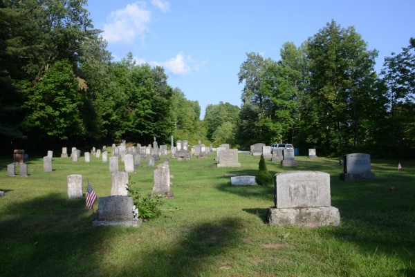
This cemetery where both Canadians and Americans lie buried straddles the border between East Richford and Glen Sutton.
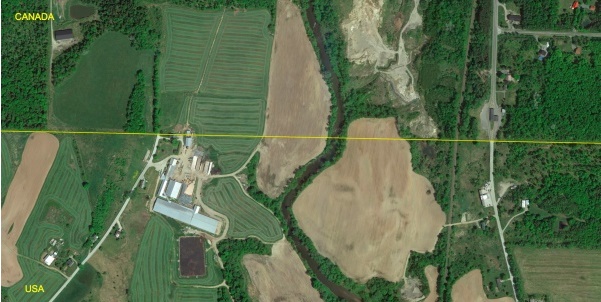
The border between Richford and Abercorn cuts through a farm run by the Hurtubise family. Part of their land and part of their house is in Canada.
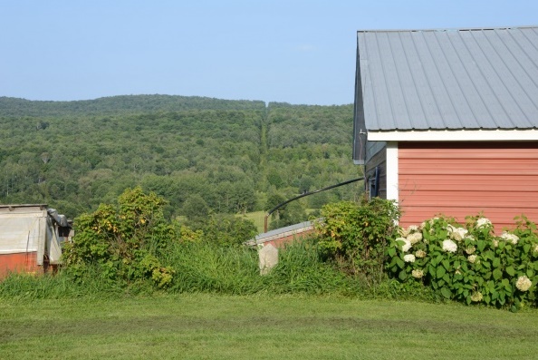
This photo of part of the Hurtubise barn clearly shows the boundary line between the two countries.
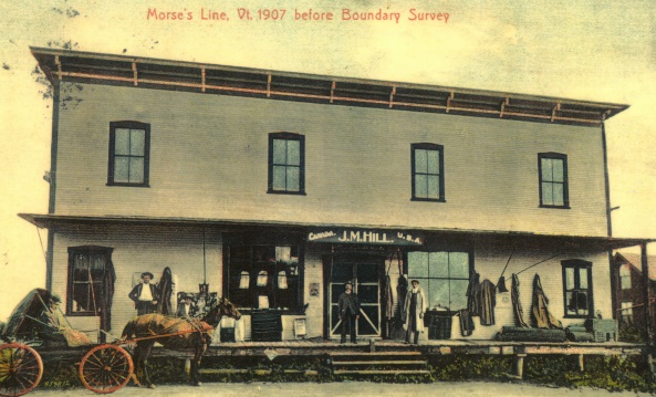
The border post at Morse’s Line was housed in a general store built astride the border