

Map of the Eastern Townships
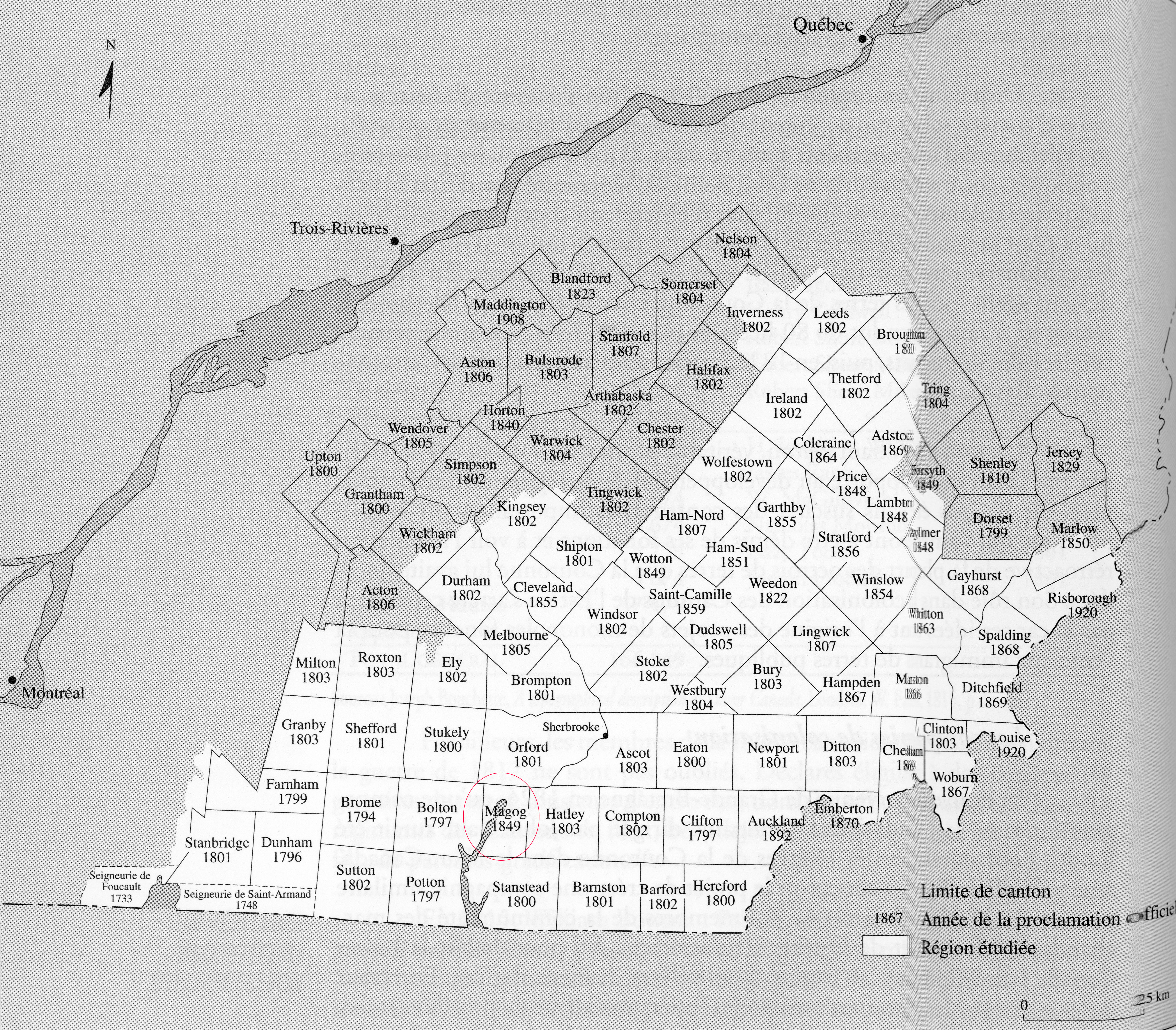
Source: Ministry of Lands and Forests (1973). Répertoire des cantons du Québec, Québec, cited in Jean-Pierre Kesteman et al. Histoire des Cantons de l’Est, Sainte-Foy: Institut québécois de recherche sur la culture, 1998, p. 94.
Map of the Eastern Townships indicating the concession year of each of the townships. The township of Magog is circled.