

1932 Map of St. John’s
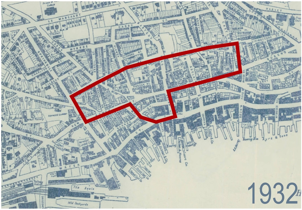
Source: Ryan, W.P. Map of Saint John’s Newfoundland from official plans and actual surveys. S. Condon; St. John’s. 1932.
The outlined area was redeveloped in the late 1950s into the 1960s. It includes the area known as the Central Slum as well as part of New Gower Street where Lebanese businesses developed from the late 1800s until the area was expropriated.