

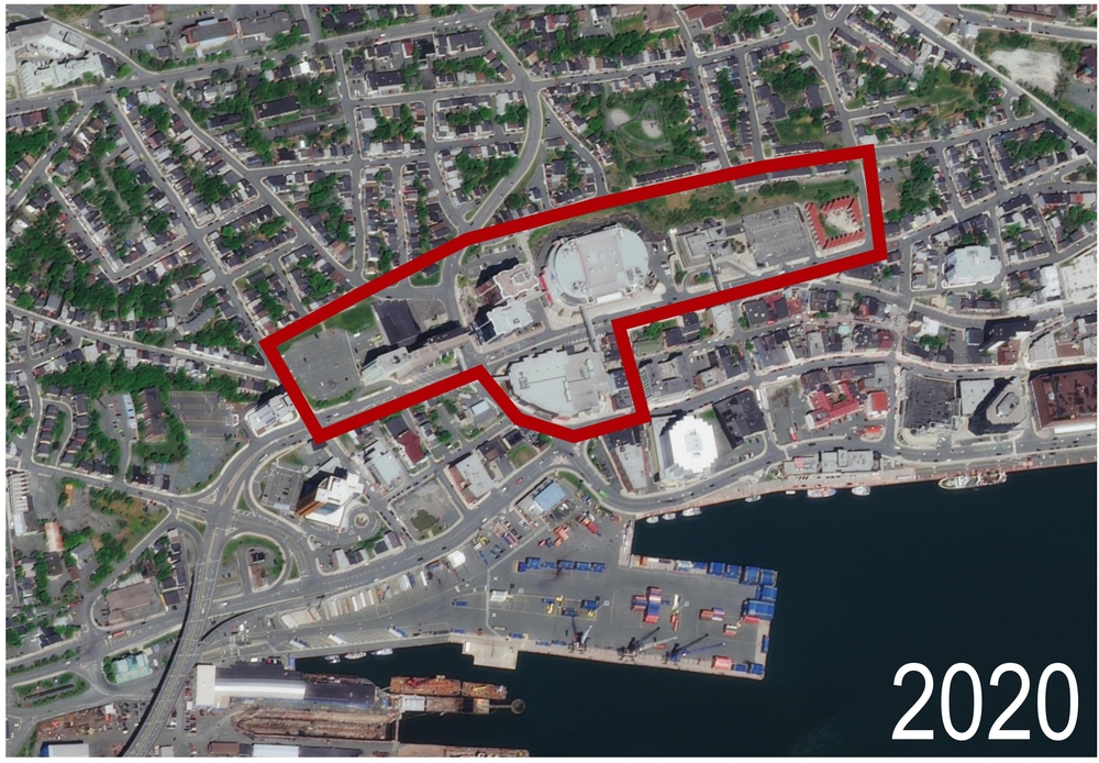
2020 Aerial View of St. John’s
Source: Esri, DigitalGlobe, GeoEye, i-cubed, USDA FSA, USGS, AEX, Getmapping, Aerogrid, IGN, IGP, swisstopo, and the GIS User Community. 2020.
This is an 2020 aerial view of an outlined area that was redeveloped in the late 1950s into the 1960s. It includes the area known as the Central Slum as well as part of New Gower Street where Lebanese businesses developed from the late 1800s until the area was expropriated.