

Archival Map of Lower Saint Lawrence River
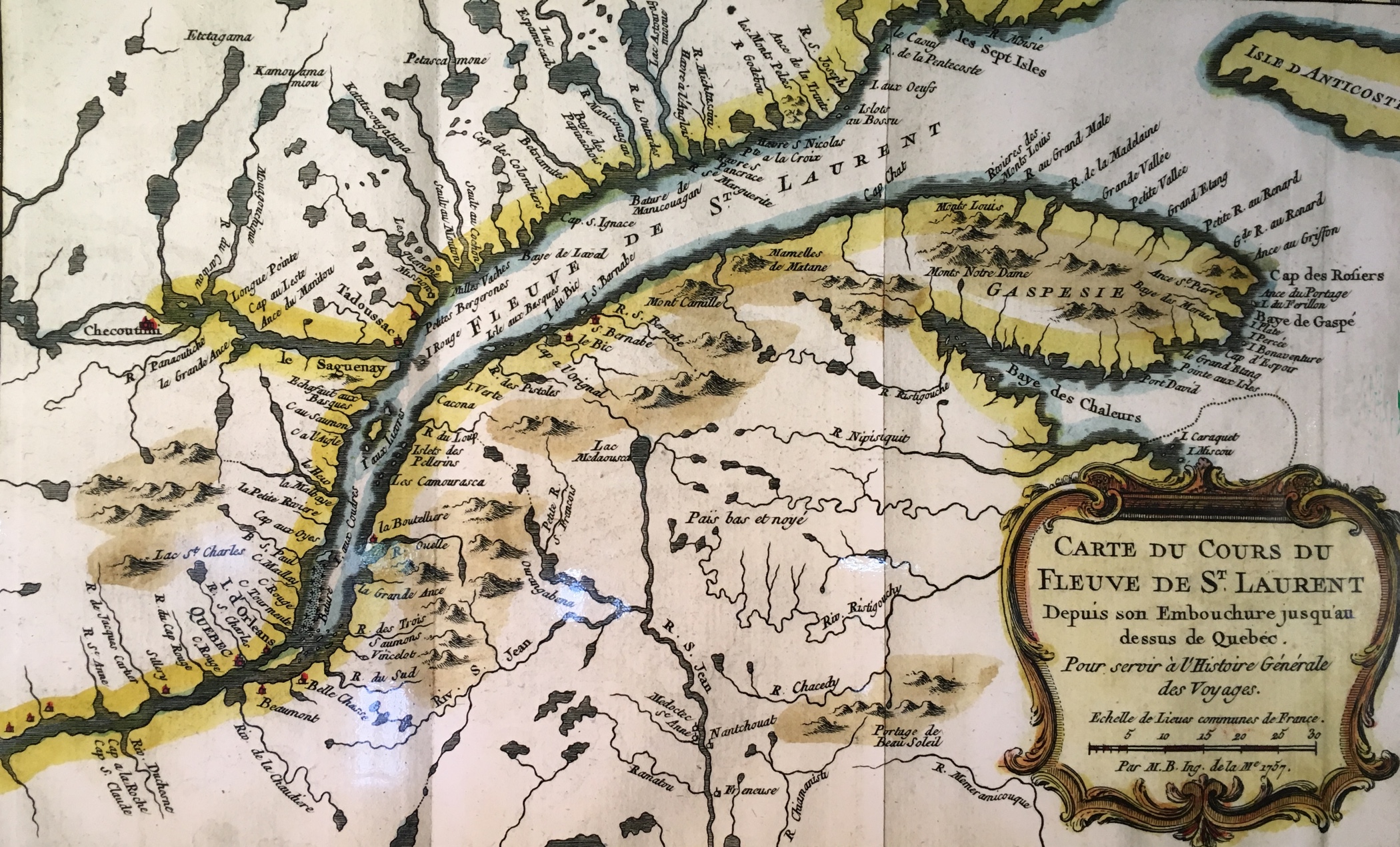
BELLIN, J.N. Paris, 1757
Photographed by Karen Molson; Rivière-du-Loup Public Library, 2017.
Hand-coloured archival map of the lower Saint Lawrence region, “Carte du Cours du Fleuve de St. Laurent, 1757” showing rivers, lakes and topography of the north and south shores.