

Landscape surrounding MCS today
Joe Mackay, Yip Cider, 2021
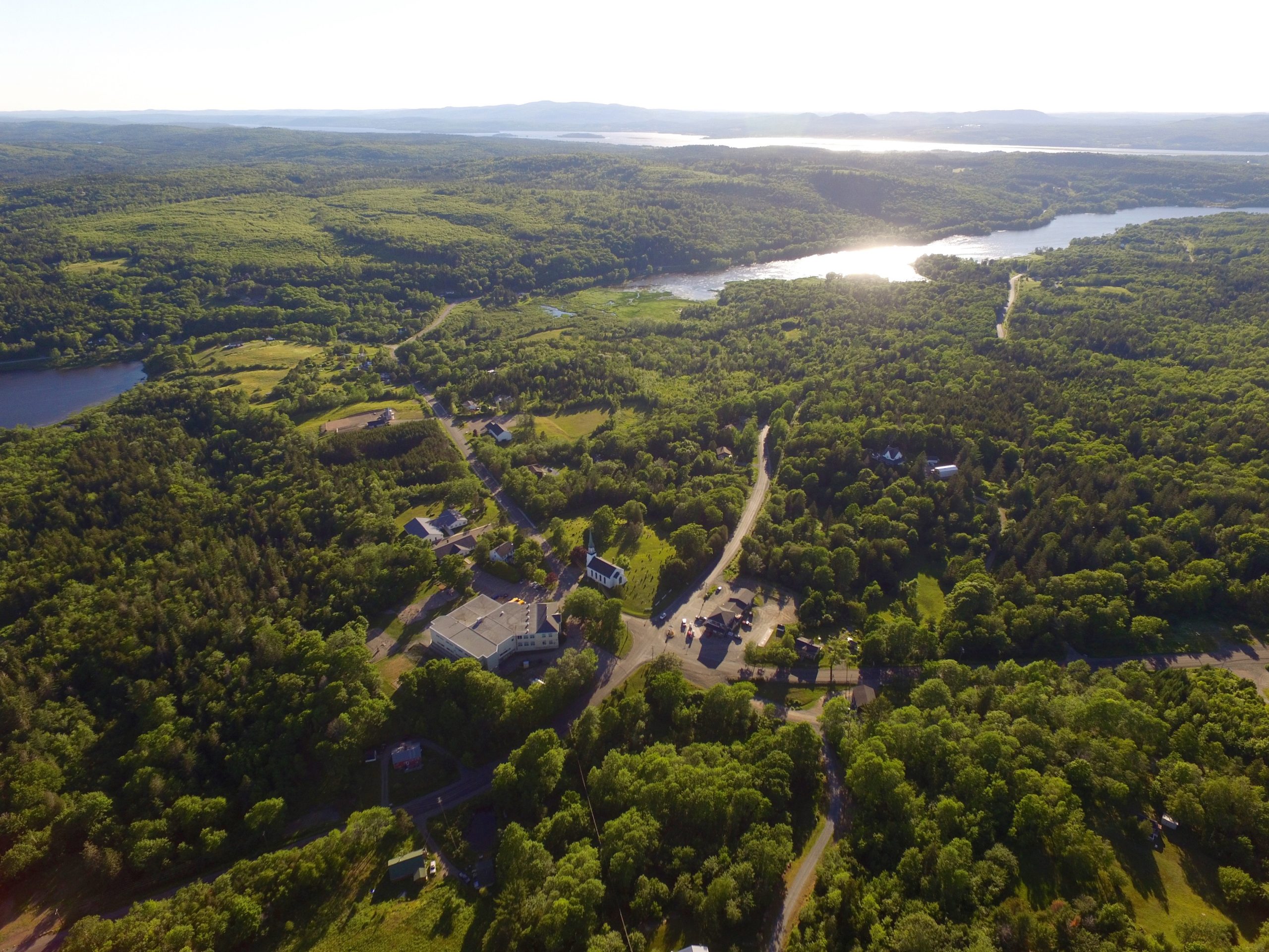
This aerial shot of MCS shows Bates Lake to the left, Kingston Creek to the right and the Saint John River in the distance. In 1783, Loyalists travelled up the Saint John River and landed at the head of Kingston Creek. On Bates Lake they built a mill. Indigenous peoples portaged between the Saint John River and the Kennebecasis River along this waterway.