

Kirkland-Larder Gold Area Map
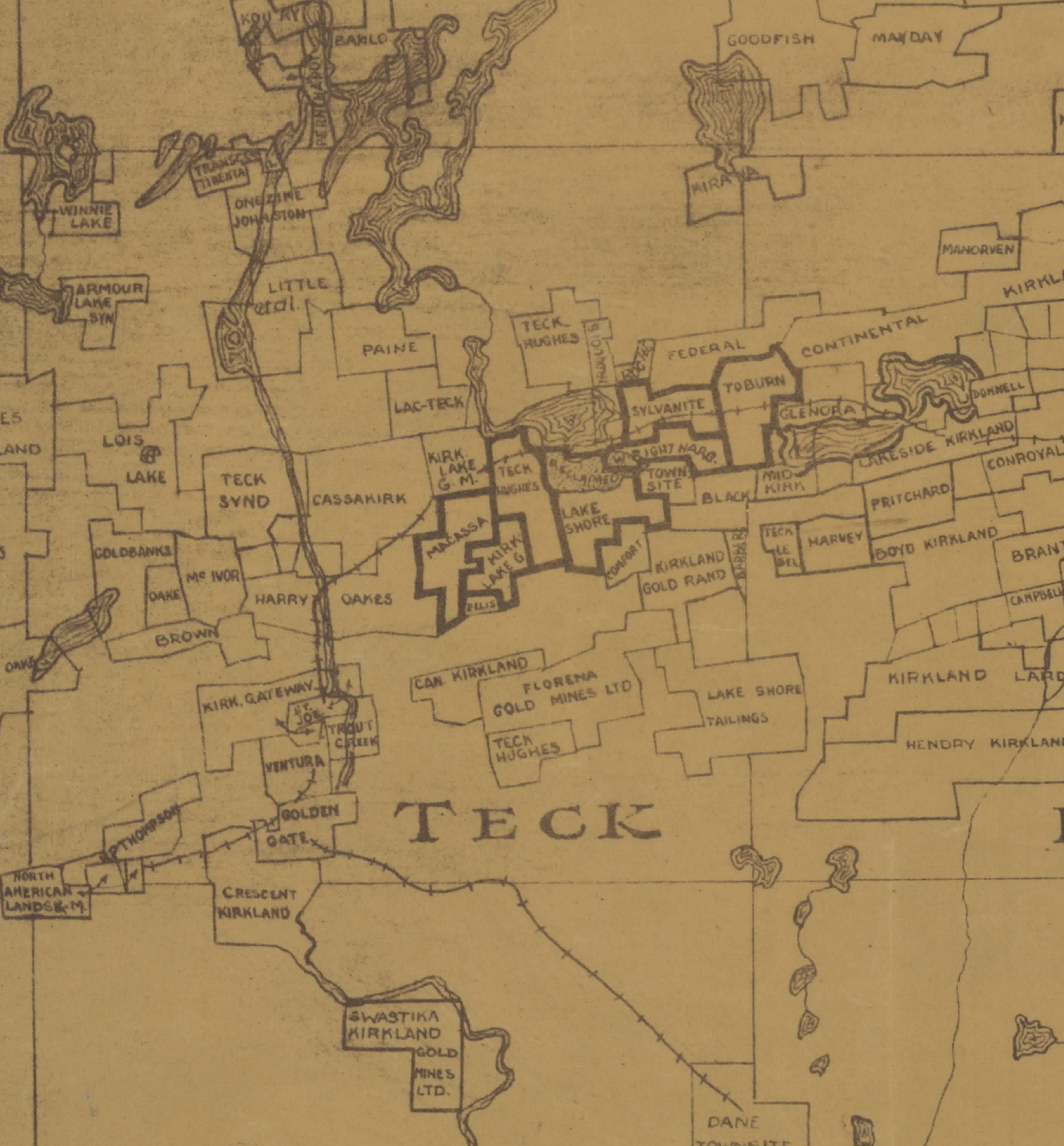
Kirkland-Larder Gold Area Map, Teck Township ca. 1930
Creator: The Teck Mappers, Kirkland Lake
Museum of Northern History Collection
Close-up of the Kirkland-Larder Gold Area map. The areas outlined in dark ink are the seven main mines of Kirkland Lake. The community of Swastika and the T&NO Railway can be seen near the bottom of the image, about 5kms away from Kirkland Lake.