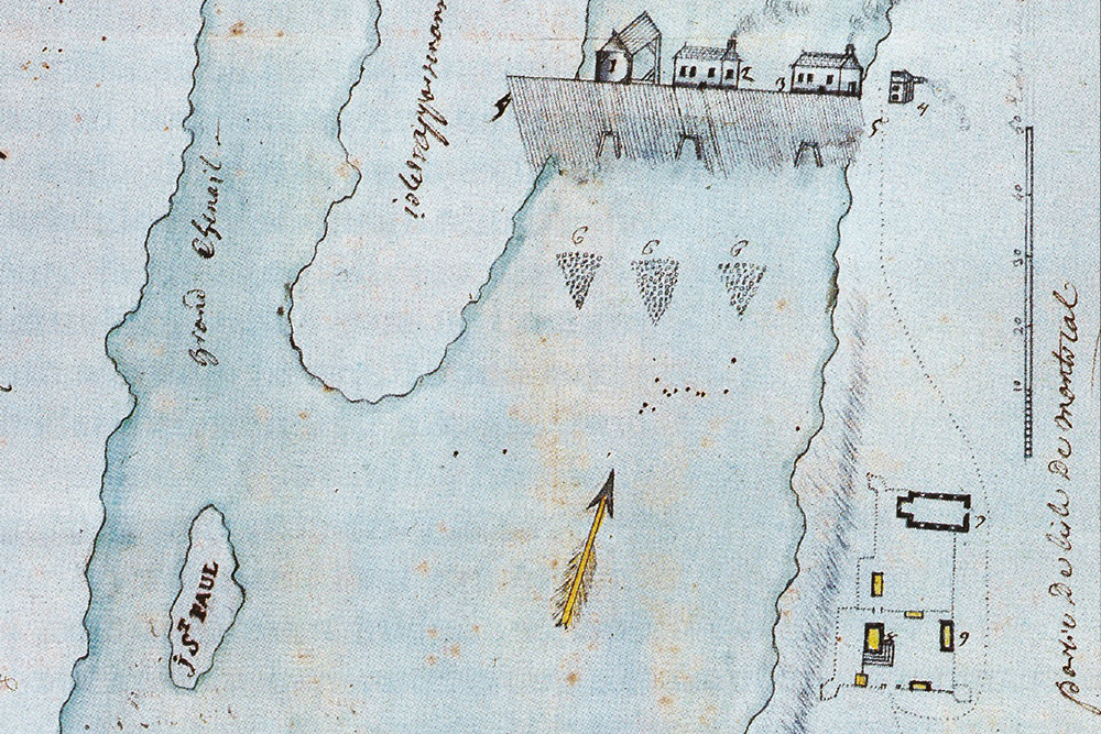
Map of the Sault’s village core, likely drawn between 1726 and 1749 (detail)

Source: 12375 Du Fort-Lorette Street—Site BjFj-184, complementary archaeological inventory, Arkéos Inc, September 2019.
Detail of an anonymous and undated map of the sector between Fort Lorette and the mills’ dike. The first structures on the dike are represented, but not the parish church. Fort Lorette’s old chapel is still visible. This seems to indicate that the map was most likely drawn between 1726 and 1749.

