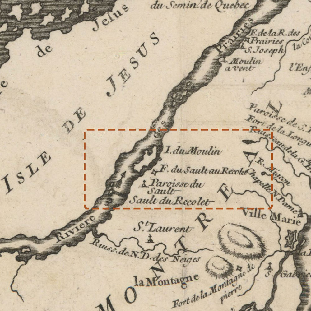
Sault-au-Récollet and its surroundings in 1744

Archives de Montréal, BM005-3-D03-P009
The fort, chapel, parish and mills of Sault-au-Récollet are represented in this detail of the Carte de l’Isle de Montréal et ses environs (map of the Island of Montreal and its surroundings) by N. Bellin, Engineer and Hydrographer of the Navy. Published in 1744.

