

Map of Saint John
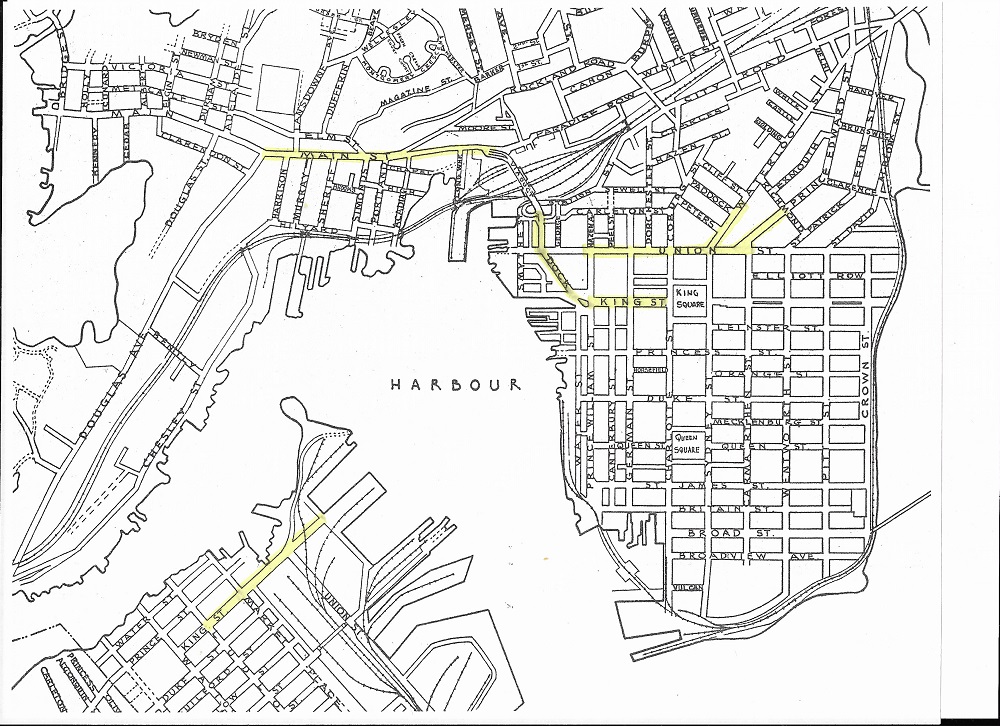
Saint John Town Planning Commission, Saint John, 1945, revised December 1952 – Saint John Free Public Library
This section of the Saint John Town Planning Map shows the uptown, north end and a small portion of the west side and the areas where most Jewish businesses were established.