

Wall Map
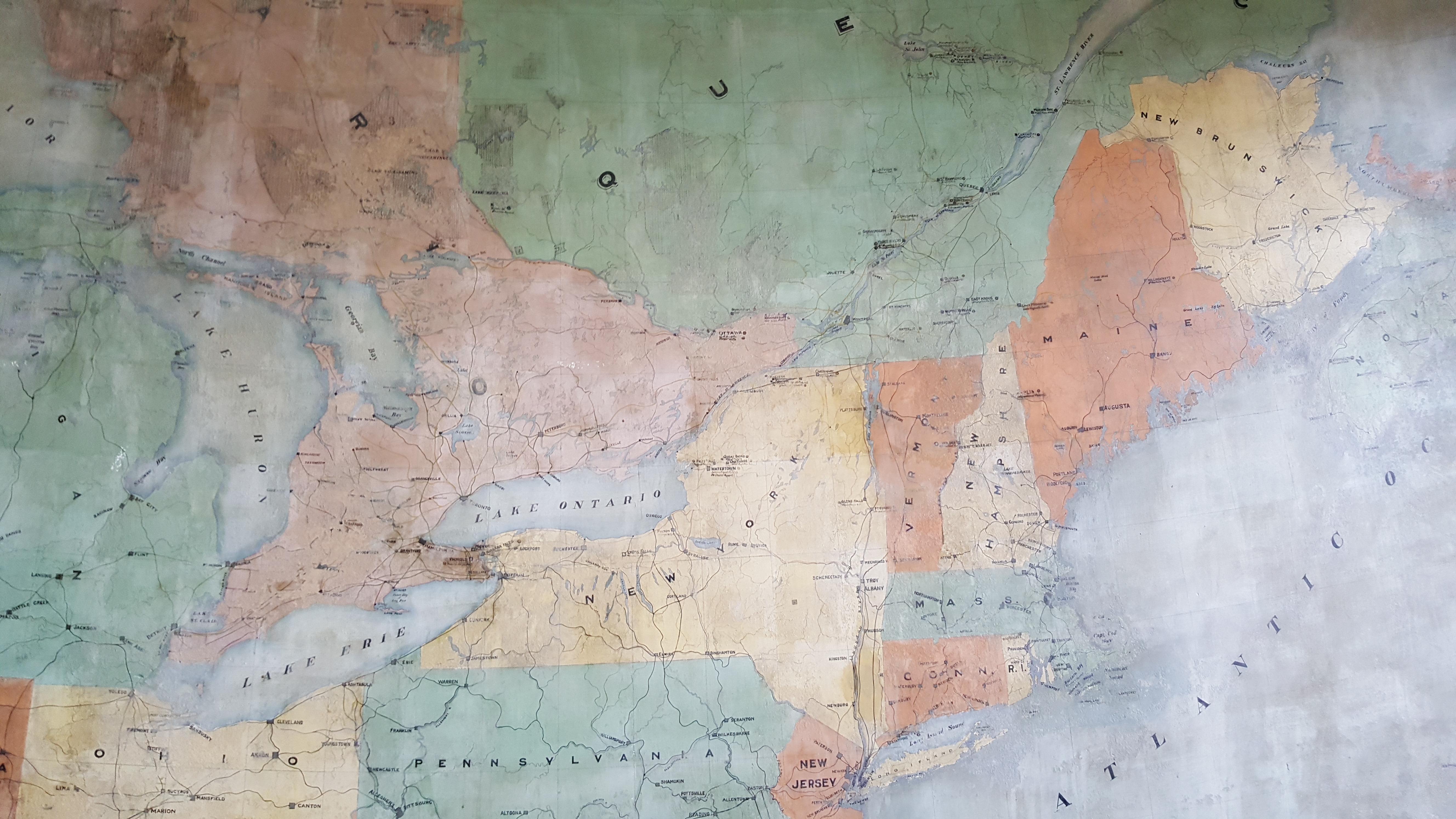
1901
Photo courtesy of Andrew Traficante
July 2016
Algoma Conservatory of Music, Sault Ste. Marie, ON
Clergue’s empire shown in detail in a painted map on his office wall. Restorations were made to the map in the 1980s.
Northern Ontario’s resources were well connected to manufacturing sectors and markets in the Eastern United States.