

Wall Map Shipping Routes Detail
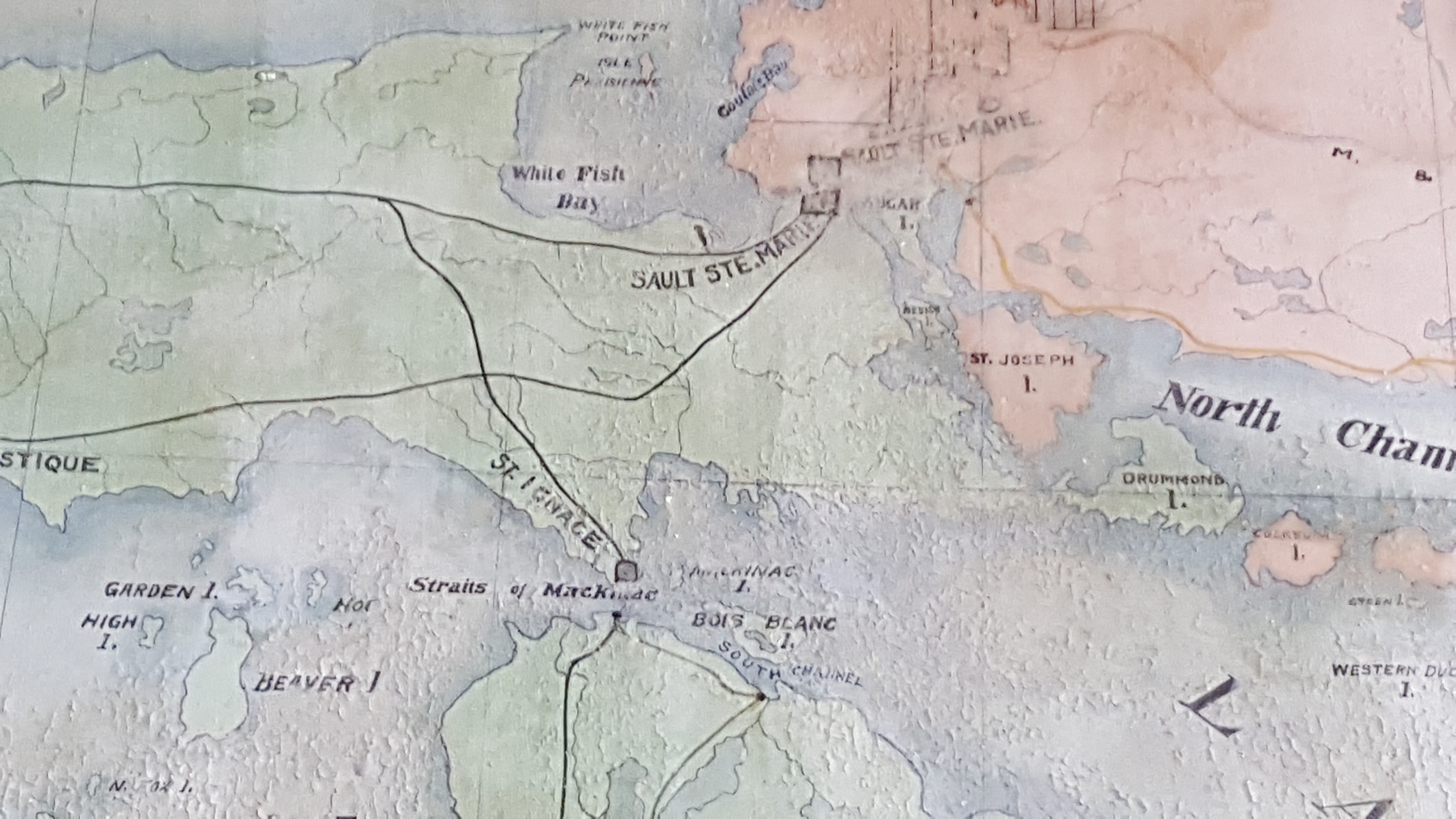
Photo courtesy of Andrew Traficante
July 16, 2016
Algoma Conservatory of Music, Sault Ste. Marie, ON
Clergue viewed Sault Ste. Marie as a shipping hub with access to both rail and sea routes.