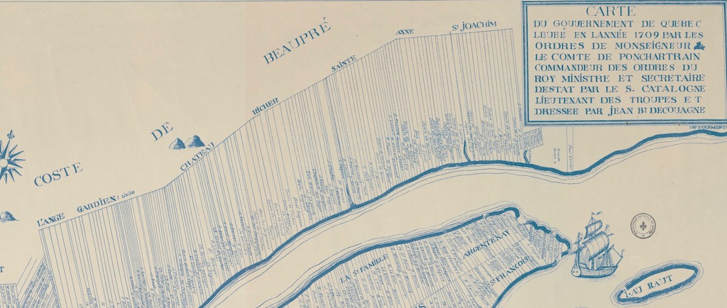
Map showing land use in Côte-de-Beaupré in 1709

Source: Government of Québec survey map (1709) commissioned by Monseigneur the Count of Pontchartrain; Commander of the King’s Orders, Minister, and Secretary of State; from Sieur Catalogne, Lieutenant, and drawn by Jean Bt. Decouagne [facsimile] [detail], Gédéon de Catalogne (1662-1729), 1709. Bibliothèque et Archives nationales du Québec, G/3451/G46/1709/C381/1921 DCA.
A document of great value to historians, this detail of a map drawn by Gédéon de Catalogne shows the lands granted within the territory of the Beaupré Seigneury, as well as the names of the land owners at that time.

