

Aerial view of Château-Richer in the mid-20th century
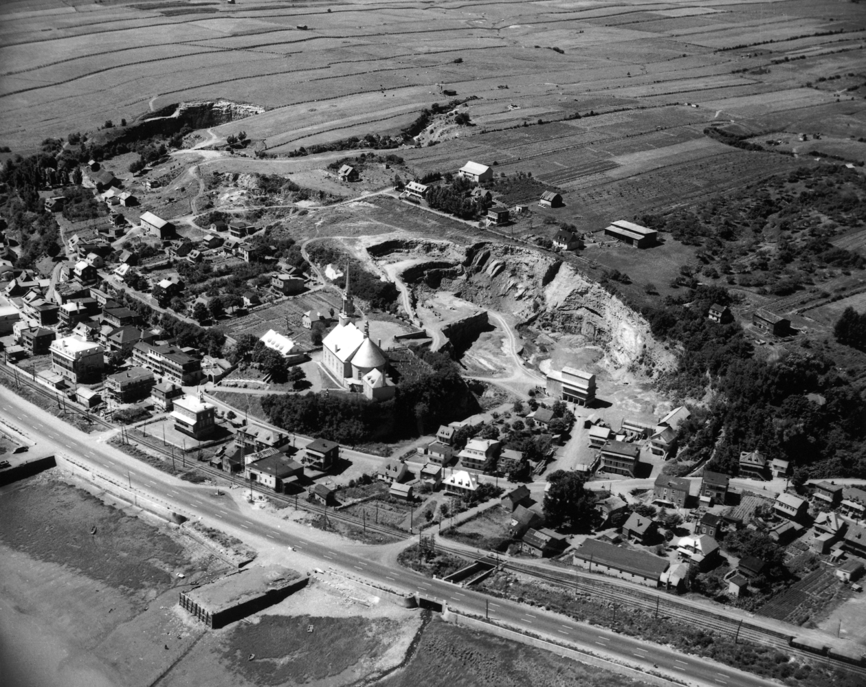
Source: Aerial view of Château-Richer, W. B. Edwards, 1947. Archives de la Ville de Québec, fonds W.B. Edwards, P012-N0233665.
It is thanks to the contribution of numerous individuals that Château-Richer became the thriving community it is today.