

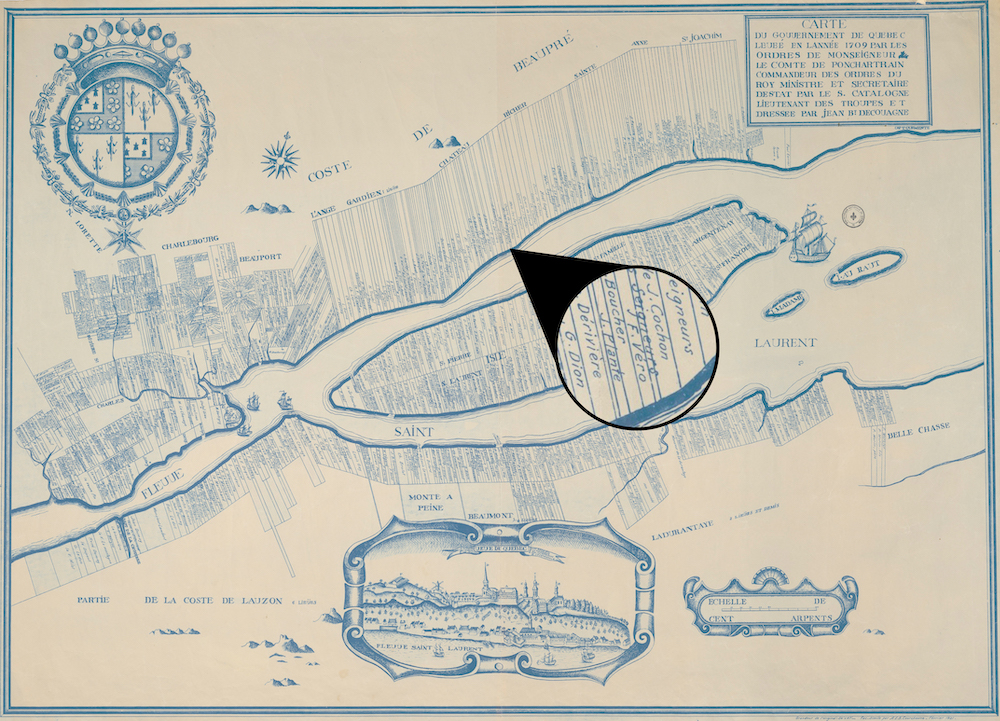
Location of the lot occupied by Marthe Quitel and Barthélémy Verreault in Château-Richer
Source: Bibliothèque et Archives nationales du Québec, G/3451/G46/1709/C381/1921 DCA.
This map dating from 1709, drawn by Gédéon de Catalogne, shows the lot belonging to François Verreault, son of Marthe and Barthélémy. In 1701, François inherited the land his parents had farmed since 1665. In 1730, the lot was passed down to François’s nephew, Prisque Verreault.