

Map from 1641 showing the Cloutiers in Château-Richer
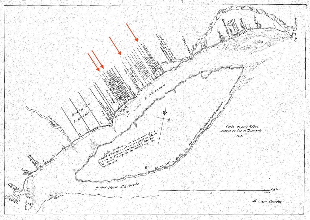
Source: Bibliothèque et Archives nationales du Québec, P600,S4,SS2,D720, Fonds Collection initiale.
The red arrows indicate several sites that bear witness to the presence of the Cloutier family in Château-Richer, including the plots belonging to Zacharie Cloutier Jr. and Robert Drouin, husband of Anne Cloutier; the “abri de Cloutié” (Cloutier shelter); and Jean Cloutier’s land. The map dating from 1641 was drawn by Jean Bourdon.