

Map of the Beaupré Seigneury
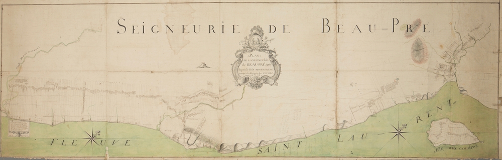
Source: Plan de la seigneurie de Beau-pré depuis le sault Montmorenci jusqu’à la rivière du Gouffre, Ignace Plamondon Sr., cadastral plan, 1751. Musée de la civilisation, fonds d’archives du Séminaire de Québec, photograph: Jessy Bernier – Perspective Photo, SME-62
Whereas today, the eastern boundary of Côte-de-Beaupré is marked by Sault-au-Cochon, the Beaupré Seigneury used to extend all the way to the Gouffre River in Baie-Saint-Paul.