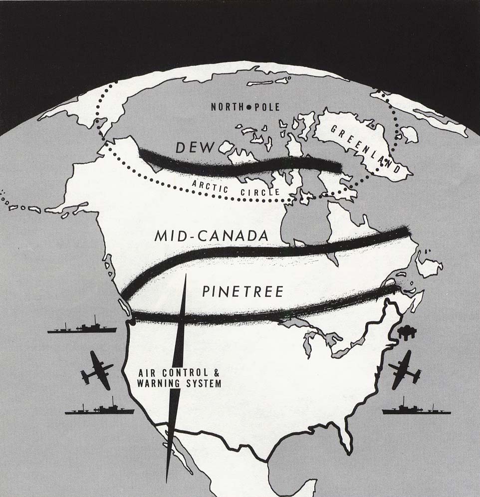
Map of Air Control and Warning System

Map of Air Control and Warning System in Northern Canada. Wikimedia Commons: https://commons.wikimedia.org/wiki/File:Dew_line_1960.jpg.
Fears of an attack on North America from the Soviet Union led to the creation of radar installations across the continent. This map indicates the position of the “Pine Tree,” “Mid-Canada,” and “Distant Early Warning [DEW]” lines. The DEW line included over 60 installations across the Arctic and came into operation in 1957.

