

Haute-Mauricie
BAnQ and Appartenance Mauricie Société d’histoire régionale, St. Maurice River Boom and Driving Company Fonds
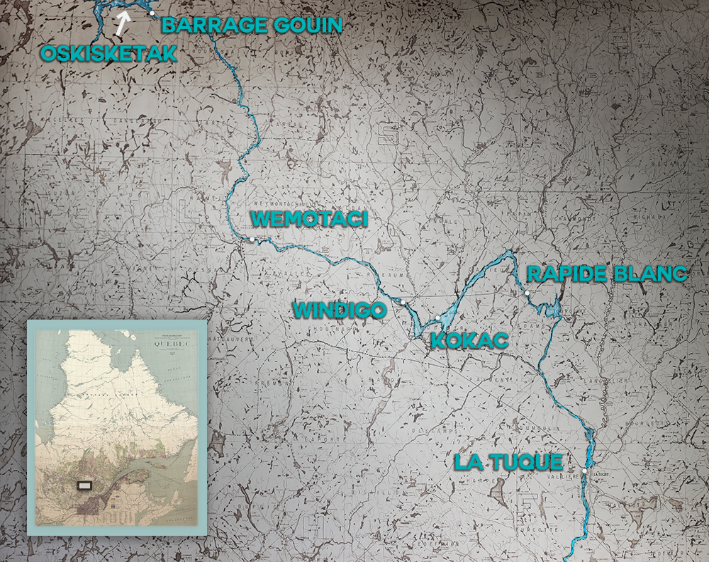
This map from 1957 gives an overview of the vastness of the territory travelled by the Atikamekw as well as the density of the hydrographic network surrounding the Saint-Maurice River.