Land Grants

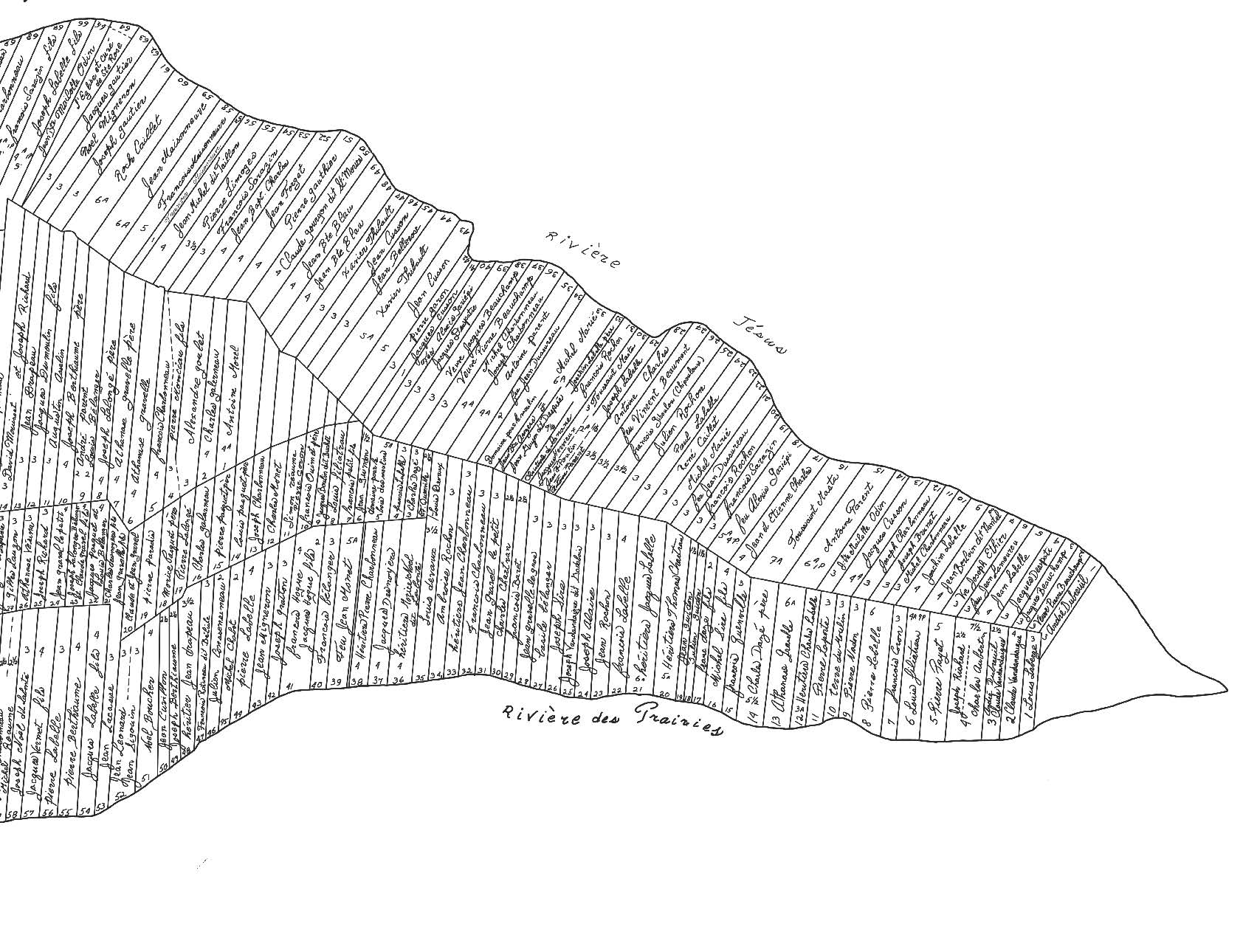
Map showing the lots occupied on the eastern point of Île Jésus in 1749, taken from the map made by the Séminaire de Québec in 1749 and expanded on.
Being a seigneur came with responsibilities! The priests at the Séminaire de Québec had to ensure that the land was developed. They began offering land to habitants who would clear a lot and settle there with their families. The lots offered by the seminary measured between 40 and 60 arpents (about 14 to 20 ha). The number of tenures really increased in the 18th century, from 144 in 1732 to 373 in 1749. A land grant became official upon signature of a contract before a notary. The deed attesting to the transaction is a way to trace the families that lived there. This map shows the results of the work of several researchers that confirms the names of the people who lived on the lots on the eastern point of the island. These lots were almost all occupied by habitants, except those on the far east side, which were occupied by the seigneurial estate.

