Father Dalmas and the Exploration of the Island

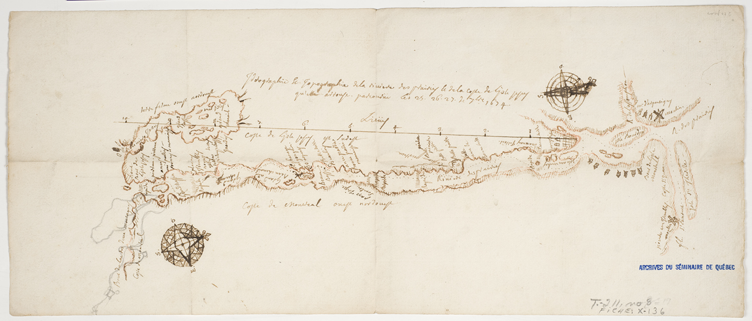
Musée de la civilisation, fonds d’archives du Séminaire de Québec. Idrographie et topographie de la rivière des prairies et de la coste de l’ysle Jesus qu’elle arrouse parcourue les 25, 26, 27 de 7bre 1674 [Hydrography and topography of the Des Prairies River and the shoreline of Île Jésus visited on September 25, 26 and 27, 1674]. Antoine Dalmas. September 1674. Idra Labrie Persective, photographer. No. X-136.
This map was produced by Father Antoine Dalmas in 1674. At the time, the Jesuits wished to move their mission from La Prairie-de-la-Madeleine. They wanted to protect the Indigenous people from the fur traders’ bad intentions. Father Dalmas was responsible for the mission at La Prairie. He received orders to explore Île Jésus and choose an appropriate location. After a five-day expedition, he sent his Superior the good and bad points of a site in the region. He included a hand-drawn map with his report. According to the Relations des Jésuites [Jesuit Relations] of 1674, he described the map as “a faint drawing of the coast of Isle Jesus that is surrounded by the Des Prayries River.” It contains a few of the Father’s comments, such as “beautiful river.” He identified a specific Algonquin camp. In the end, the Jesuits chose Sault Saint-Louis, the modern-day Kahnawake, for the new site of their mission.

