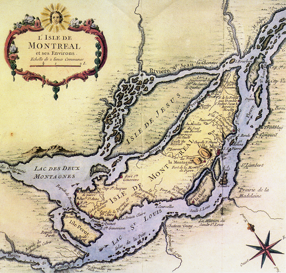
Mille Isles or Saint-Jean River

Collection of the Société d’histoire et de généalogie de l’île Jésus, C1/L6.010, L’Isle de Montreal et ses Environs [Island of Montreal and Its Environs], Nicolas Bellin, 1764
This map features the Island of Montreal in 1764. It clearly shows the location of Île Jésus and its rivers. One of the names for the Mille Îles River can be seen: Saint-Jean River. Given its many islands, no wonder it is called Mille Îles [Thousand Islands] today! There is little information about our rivers on the map. But there is an arrow showing the direction of the current of the Des Prairies River and the title “Seigneurie du Séminaire de Québec” [Seigneury of the Quebec Seminary]. This map was drawn by Jacques-Nicolas Bellin. He was a great mapmaker who produced many maps of the new continent.

