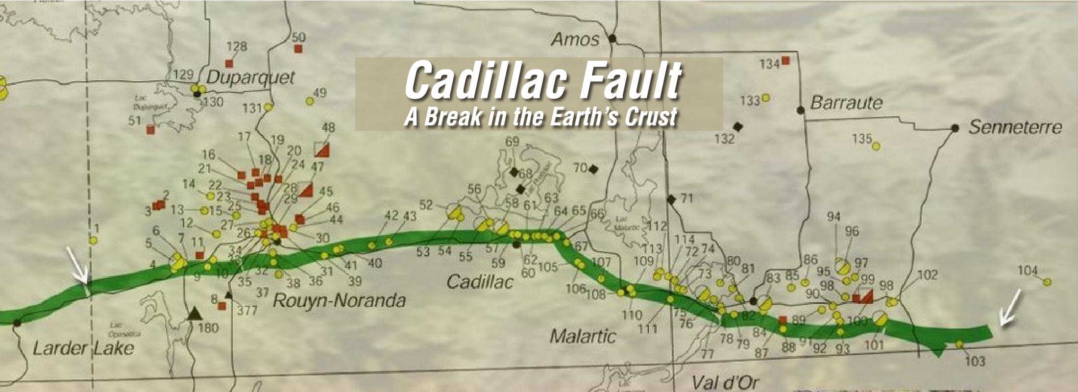
The Cadillac Fault: A Break in the Earth’s Crust

Credit: Musée minéralogique de l’Abitibi-Témiscamingue/ Montage: Conception graphique Simagré
Legend
The map shows a partial view of the fault that runs through Abitibi-Témiscamingue. The fault, which extends from east to west, represented by the green line is clearly distinguished.
Most notably, the cities of Malartic, Val d’Or, Cadillac and Rouyn-Noranda are located directly on the fault. It is the third axis of development of the area after the Témiscamingue (1880) and the rural Abitibi (1910). Located at the center of the first two axis, the Fault of Cadillac will allow a consolidation of the territory in a true regional entity in the 1930s.

