Map of Sinixt Sites
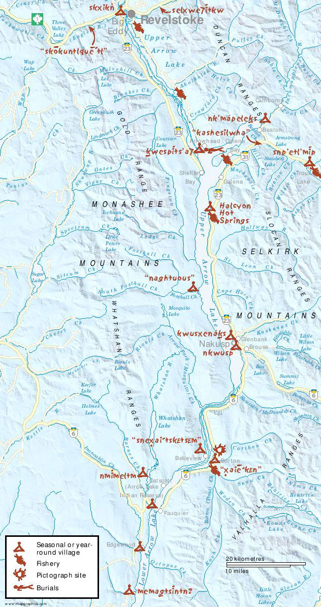
Map created for “Geography of Memory” by Eileen Delehanty Pearkes, 2002.
Map showing sites in the northern reaches of Sinixt territory, indicating village, fishery, and burial sites.


Stories Beneath the Surface Stories Beneath the Surface Revelstoke Museum and Archives
Map created for “Geography of Memory” by Eileen Delehanty Pearkes, 2002.
Map showing sites in the northern reaches of Sinixt territory, indicating village, fishery, and burial sites.