Early Descriptions of Sainte Marie II
Description of Ste. Marie II (Closed captions available in EN and FR) –View the video with a transcript (EN)
After Sainte Marie II was abandoned, it remained in the depths of history until the mid-nineteenth century when various visitors began to record observations while visiting the island. The first recorded visitor in 1844 was Father P. Chazelle, S.J. who was followed in June of the following year by the Reverend G. Hallan, who made a tracing of the approximate remains. In 1855, Father Félix Martin visited and described the site which included a plan and water-colour sketch of the site. Father Martin described the site in the following way:
“This Fort is a square flanked by four bastions and solidly built of stone and mortar – much more regular in shape than that of St. Marie I. The walls in their present condition stand in some places nearly seven feet above the ground, according to Ragueneau, they were originally fourteen feet high. In the centre of the fort is a cistern, nine feet square, in solid masonry; within it is about four feet deep and there are indications that it once had a flooring of planks. A wall which extends some sixteen feet within the enclosure abuts, at right angles, upon the west curtain; what its object was would be difficult to determine. There are traces of a moat around the fort, but the trees which cover the site, and the marshy nature of the ground in the immediate vicinity, render it difficult to ascertain the dimension. The foundations of the fort are bedded deeply in the soil and the joining of the masonry affords evidence of careful workmanship and skilled labour.” (Martin, n.d.).

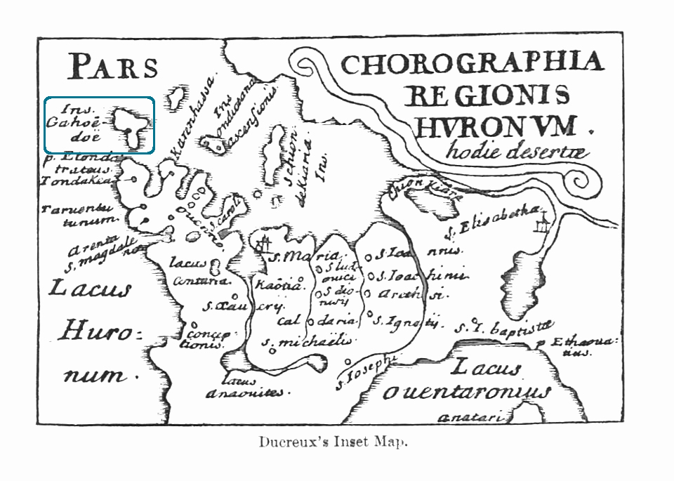
In 1844, Father Chazelle, informed by the Jesuit Relations and this map, the Du Creux’s Map of Huron County, identified the remains of Ste. Marie. Outlined in blue is Christian Island (Gahandoe)
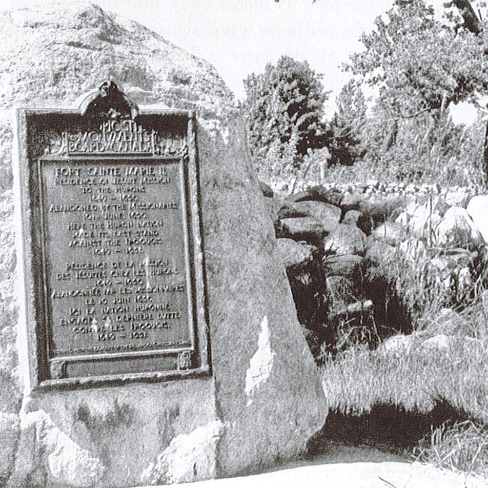
Although the site was visited, it remained uncared for until 1923. In preparation for the commemorative plaque unveiling, a large quantity of scattered stone in the immediate vicinity was gathered and piled both on the walls and where the walls were assumed to be.

The Historic Sites and Monuments Board of Canada made site improvements for the unveiling of a bronze commemorative plaque on September 15th, 1923.
The limited quantity of rock available was likely due to much of it being loosened and dispersed by treasure seekers pillaging the site. What remained was removed for incorporation into house foundations and docks. From 1923 until 1965 the only major change at the site had been the removal of a section of wall from the northeast bastion.

