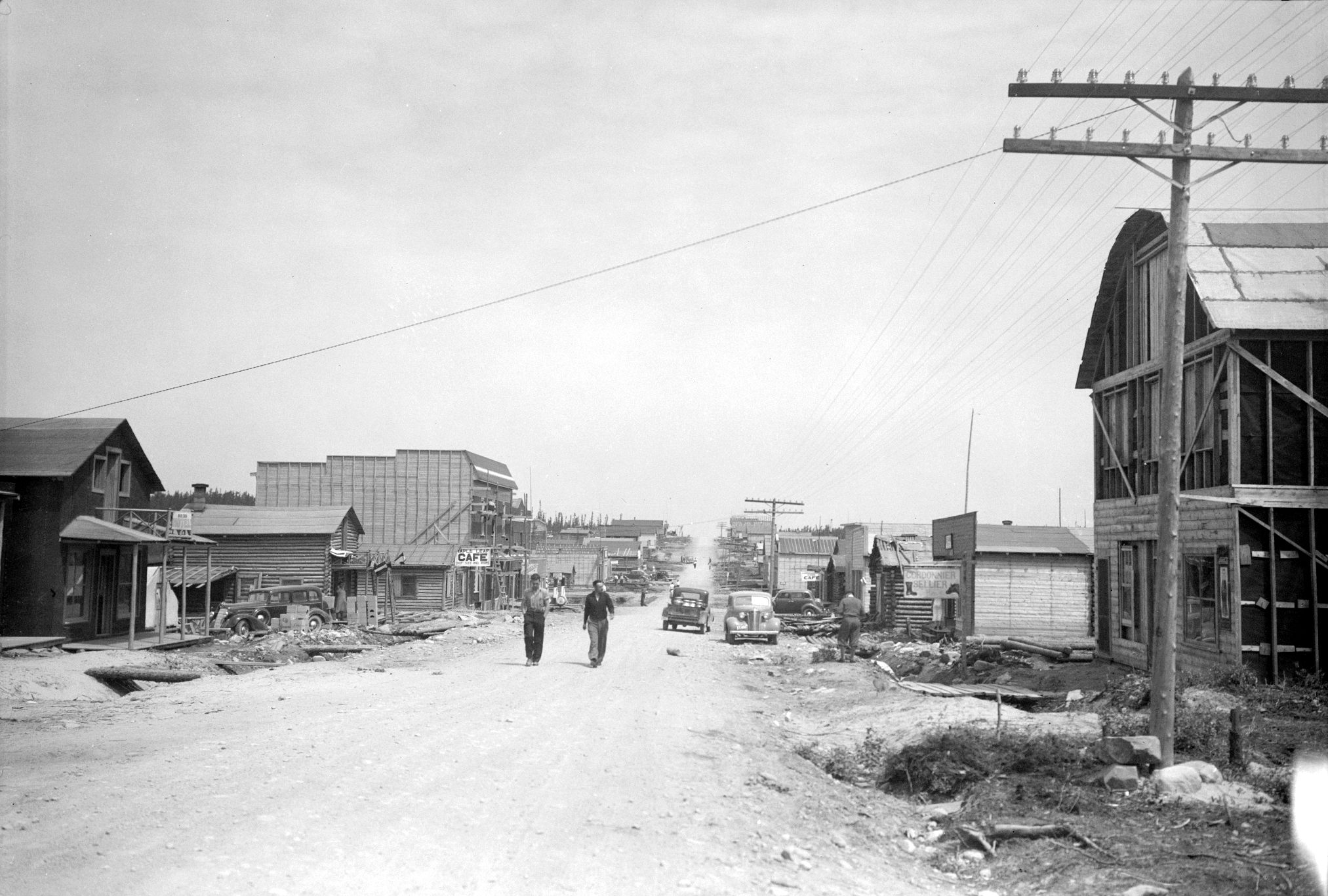
Looking North from the South End of Roc-d’Or

Date : 1937
Credits : BAnQ Rouyn-Noranda, Canadian National fonds. 08Y,P213,P302.
The beginnings of the village are unclear, but there was a definite increase in the population in the spring of 1936. The first concrete evidence of Roc-d’Or to be found is on a map. A Quebec Department of Lands and Forests’ map, dated March 31st 1936, shows six dwellings.

